
North Capitol Crossroads is a mass of highways, empty mega-blocks, and disconnected row homes. However, the city is trying to redesign the area into a multi-modal neighborhood with the help of the surrounding communities. So, what could it look like, and how did it get so messed up in the first place?
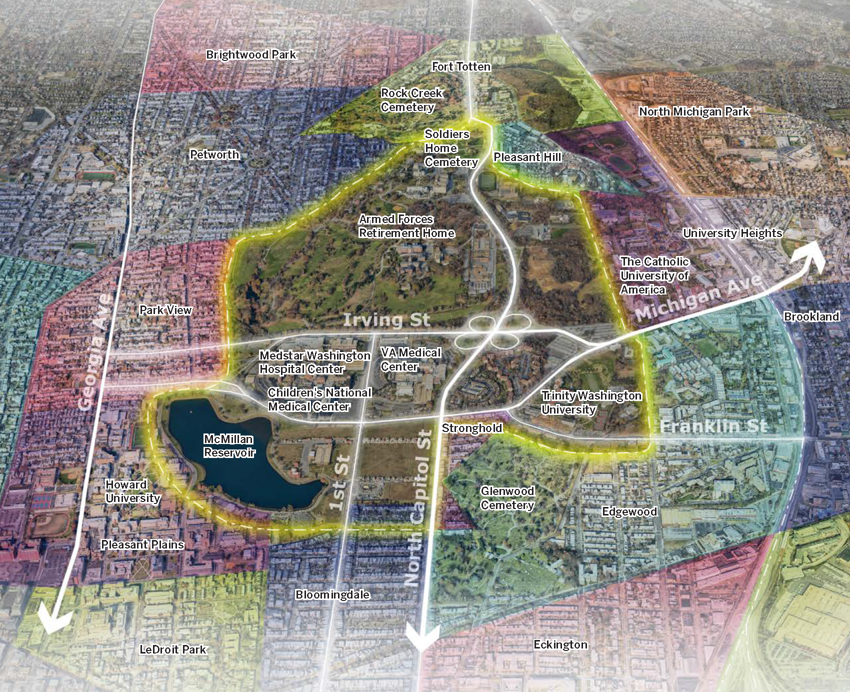
Where Is North Capitol Crossroads?
North Capitol Crossroads is not a neighborhood, it’s a designated area in the D.C. Comprehensive Plan. It’s the area surrounding North Capitol and Irving Streets, which includes the McMillan Reservoir, the Armed Forces Retirement Home, and Catholic University.
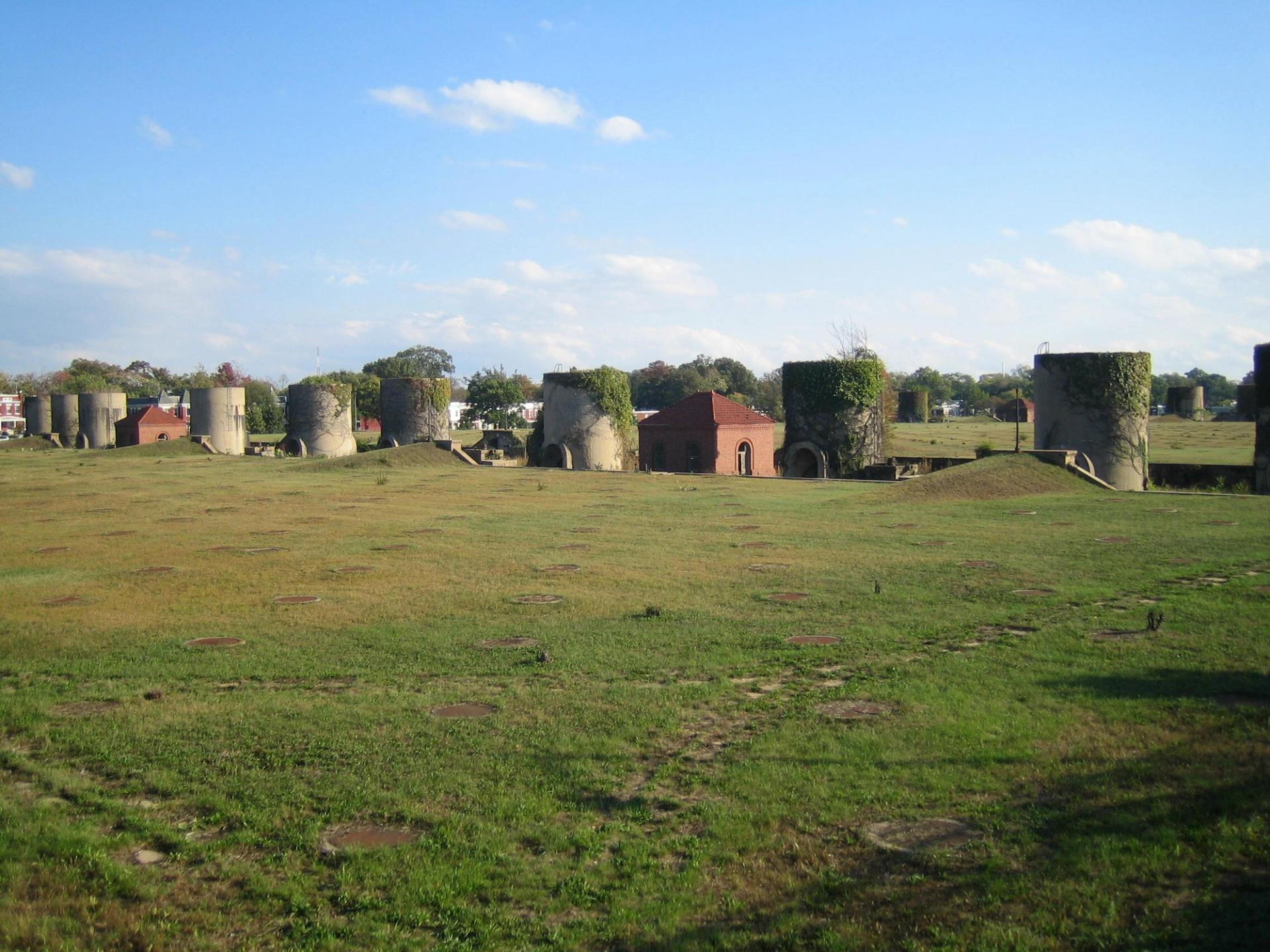
McMillan Sand Filtration plant, now McMilan Park. (David Monack/Wikimedia Commons)
Why Was It Developed This Way?
In the 50s and 60s, mixed-use neighborhoods were not the gold standard they are today. Planners would use highways and large institutions to segment people and neighborhoods along racial and economic lines. Anita Cozart from the DC Office of Planning explains that the ideas of the time “rejected the mixing of people in cities, the mixing of uses in cities. Those were seen as inherently bad.”
Another large issue with the original development of North Capital Crossroads was that city planners did not interact with the community they were planning, often developing areas without consulting residents.
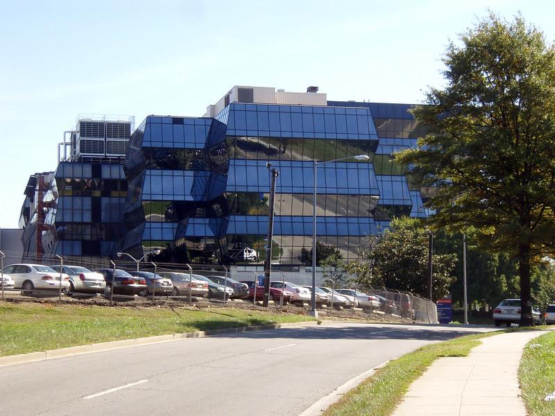
Old picture of Children's National Hospital. (Daniel Lobo/Flickr)
What’s Being Done To Change It?
The Office of Planning is in the process of ascertaining what a successful development would look. As part of this, oral historians conducted interviews with residents, workers, and volunteers to form a two-episode “District Crossroads” podcast, hosted by City Cast DC’s very own Bridget Todd. This is one of the first steps in reviewing D.C.’s comprehensive plan, which officially kicks off in January.
We had a live taping with the Office of Planning about how they’re responding to residents’ feedback and how you can get involved going forward.


