Anyone who has ever wished they could take a train to Georgetown or grumbled over not having a station near Adams Morgan has thought to themselves, “why is it laid out this way?” We had the same question and asked a Metro historian and transit planner about it.
Turns out, D.C.’s Metro was less planned around neighborhoods, and more planned around infrastructure that existed at the time. For example, the Red, Orange, and Blue Lines were all built on old existing railroad tracks, while others were built on strips or land meant for highways.
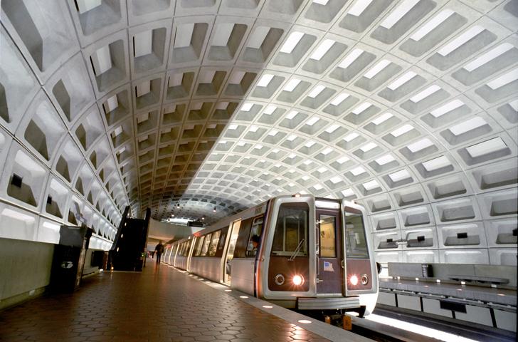
We love our brutalist stations. (kickstand/Getty Images)
So, how could Metro routes be improved to fit modern day D.C.? What would our dream metro look like? That’s where the Metro Map Maker comes in, an online program where you can remix existing maps to make the system of your dreams. The gallery currently has over 30 fantasy WMATA maps, like:
🗺️ This map, which has a line to Georgetown, and Mount Pleasant, AND Annandale. It’s a foodie's dream. For giving us practicality and volume, I award it 5 stars.
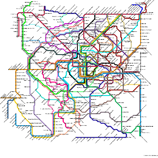
🧭 In this fantasy, we could run circles around the DMV. For envisioning options without too many complications, this map gets 4 stars.
🚂 While this map extends deeper into the suburbs, it makes no improvements within D.C. itself. As someone who hates walking in the D.C. humidity, I give this map 2 stars.
Which imaginary map is your favorite? (Tip: Pull up the actual Metro map for a side-by-side comparison.)